Scenic hiking trails near Rome
If you need a break from the city, trekking might be the right choice for you. Lazio and its five provinces boast a pretty incredible choice of trekking spots and mountain ranges, all in about a one to two hours drive from Rome’s city center. Here is a list of 8 hiking areas that you can explore during your weekends in Rome.
Nature of Sal: Guided Hiking Tours Near Rome
If you’re seeking an expert-guided hiking tour to discover the natural beauty of Latium, look no further than Nature of Sal. Their experienced guides will lead you through the scenic landscapes near Rome providing a fresh perspective on the city.
Their diverse range of tours caters to all preferences. For those who prefer staying close to the city, explore the Aqueduct Park or the Caffarella Park. If you’re yearning for a quick escape from Rome’s urban life, Nature of Sal offers fantastic hiking options accessible by train.
You’ll be able to choose from private guided tours, group hikes or custom adventures. Tours are available in English, German, and Italian, allowing everyone to fully immerse themselves in the beauty of hiking and trekking near Rome.

Hiking in the Province of Rome:
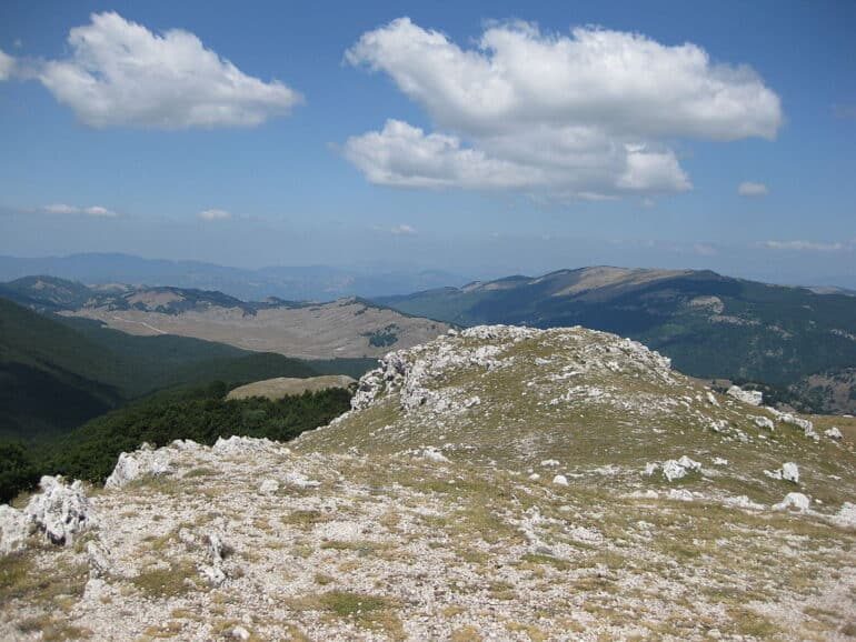
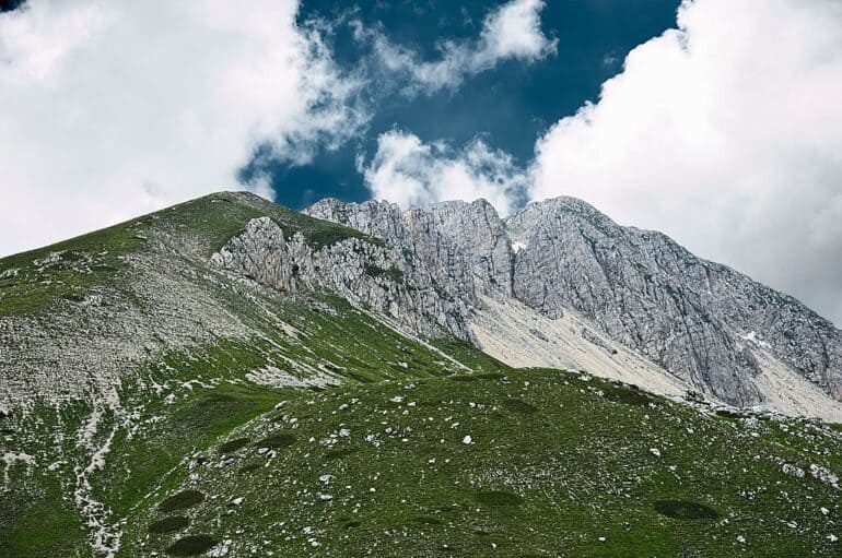
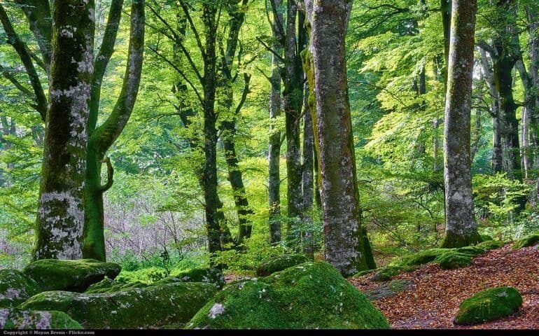
The Simbruini Mountains are a mountain range in central Italy and part of the Apennines. Romans call them “Rome’s Alps”, and the name comes from the latin words sub imbribus, “under the rain”, to testify how important the region was for water collection in ancient times. The highest peaks are Monte Cotento (2015m), and Monte Autore (1855), but the most famous one surely Monte Livata (1429m), renowned by locals for its skiing resort system in the winter, and a trekking spot in all other times of the year. The Regional Park of the Monti Simbruini, spotted by numerous villages – including Subiaco, with its beautiful monasteries – boasts an area of 36.000 km2, of which 20.000 are forests. There are numerous itineraries of various difficulties: from touristic, to expert hiker, there is something for everybody, including mountain-bikers! The most common botanical species in the area is the beech tree: some of them are secular, and have huge dimensions. Many animals have a home here: rarely small groups of wolves and couples of eagles have been spotted. Much more common are the many raptors such as the peregrine falcon, or the goshawk Small mammals like gophers and voles are very common, and they are weasels’ and foxes’ favourite snack! Also reptiles inhabit the area, from the dreaded viper under the rocks, to the salamanders in the streams.
Another suggestive trekking spot near Rome is Monte Soratte (691m), cited by Virgil and Horace, and veneered by the Etruscans: it is the only noticeable mountain ridge in the Tiber Valley. It is an isolated limestone mountain that literally seems to come out of nowhere. There are numerous routes to be walked, and they are suitable for everyone’s needs.
Hiking in the Province of Viterbo:
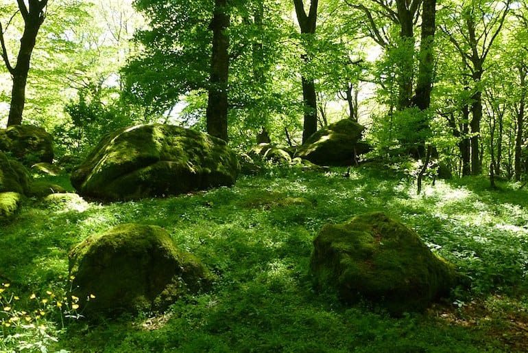
The Monti Cimini, or Cimini Hills, are part of the Antiappenine mountain range, and are situated in the center of the Tuscia Viterbese, right next to Viterbo, Tuscania, Ronciglione, Soriano nel Cimino, Bomarzo, and other incredible places to visit. There are trekking paths for every taste, and the highest peak is Monte Cimino (1.053m). The vegetation is very dense, mainly comprised of beeches, cerros, and chestnut trees. The Cimini Hills are inhabited by numerous animal species, including birds such as the common owl, as well as the peregrine falcon, and aquatic birds. Honorable mentions among the mammals instead are the badger, the marten, the wild cat, and the oak mouse, as well as roes and fallow deer.
The Monti Cimini also host the Natural Reserve of Lake Vico, with a territory of 3200 hectares, and an altitude ranging from 505 to 963m above sea level. 1000 of these hectares are completely covered in forest. The mountain ranges that go around the lake represent the circumference of the volcano Vicano, which sank about 400.000 years ago giving origin to Lake Vico, one of the most intact lakes in Italy. The swamp of Lake Vico is one of the most important parts of the Natural Reserve. It’s a simple walk, perfect for people of all ages, and especially for those who are fond of birdwatching, but don’t forget your galoshes! Among the various vantage points throughout the natural reserve area, the belvedere Poggio Trincera, on the northern edge of the lake, offers an exceptional view of the entire valley, and a launch-zone for hang-gliders and paragliders!
Hiking in the Province of Frosinone:
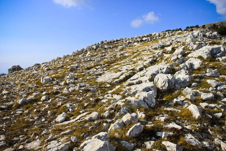
The Monti Aurunci and Monti Ausoni are a mountain range of southern Lazio, in central Italy, in the province of Frosinone. The name of the mountains comes from the ancient tribe of the Aurunci, which were descendants of the Ausoni people. Both these tribes were Italic, and were called Volsci by Ancient Romans. All together, the Monti Lepini, the Monti Ausoni and the Monti Aurunci have been dubbed as Volscian Chain. In fact they are quite similar under numerous aspects. The mountains are part of the Antiappennini, a chain that runs from the Italian Apennines, eventually diving into the Tyrrhenian Sea, giving shape to the promontory of Gaeta.
The boundaries between the Aurunci and the Ausoni has not been clearly delineated, but they are included in the Natural Park of the Aurunci Mountains. Altitudes are varied, with mountains like Mount Petrella (1,533m), as well as the main hills of Mount Redentore (1,252m) and Mount Sant’Angelo (1,402m), and trekking routes come in all shapes and forms, for hikers and bikers alike. In every season of the year, the flora of the Natural Park of the Aurunci Mountains offers different and fascinating landscapes and views to behold: blooming meadows in summer and spring, yellow, orange, and red, autumn landscapes, snow-covered forests in winter. The most common trees are the evergreen holm oaks, cork trees, chestnuts, and in certain areas the mediterranean scrub. The fauna includes numerous species including badgers, porcupines, foxes, wild boars, and occasionally the wolf. The numerous caves and cavities in the area host numerous species of bats. Many birds too live in this area, including the imperial raven, the hawk, the sparrow hawk, the kestrel, the buzzard, and different types of owls. Fishing, which is strictly monitored, is carried out at the expense of mullets, eels, bass, and carps, perches and perch trouts. Among swamps and humid areas tortoises have been spotted too!
Hiking in the Province of Latina:
The Lepini Mountains are a mountain range that belongs to the Anti-Apennines of the Lazio region, and they are situated between the two provinces of Latina and Rome. The chain borders to the north with the Colli Albani and the Castelli Romani, to the south with the Monti Ausoni, and to the west with the Pontinian Plain. The highest peak is the Monte Semprevisa (1,536 m), followed by Monte Malaina (1480m), Monte Lupone (1378m), Monte Erdigheta (1336m), and many other minor peaks. There are numerous trekking routes, but the most beautiful views are definitely those seen from the top of Monte Erdigheta and Monte Semprevisa, where on one side there is the sea, and on the other greenery and mountains. The flora and fauna are quite similar to that of the Volscian chain, yet, the most striking feature of the Lepini Mountains – and definitely something to be careful about when trekking in the area – are the numerous grottoes and karstic phenomena. Some honorable mentions are the Ouso di Passo Pratiglio with its 900m, being the deepest grotto in the whole of Lazio; the Abisso Consolini, a vertical sinkhole with a depth of 550m, easily reachable by foot from Pian della Faggeta in Carpineto Romano; and the Erdigheta Cave, very close to the Erdigheta Mountain Top: if you throw a small stone in it, it takes 7 seconds to hear a rock hit the bottom of the pit!
Another awesome yet quite strenuous hike near Latina is that of Mount Circeo. With the summit of the promontory at 541m above sea level, the surrounding land is swampy and plain. The Pontine Islands of Zannone and Ponza, as well as the remnants of ancient swamps, are now part of the Circeo National Park, and you can all see them from the top. It takes about an hour and a half to get to the summit.
Hiking in the Province of Rieti:
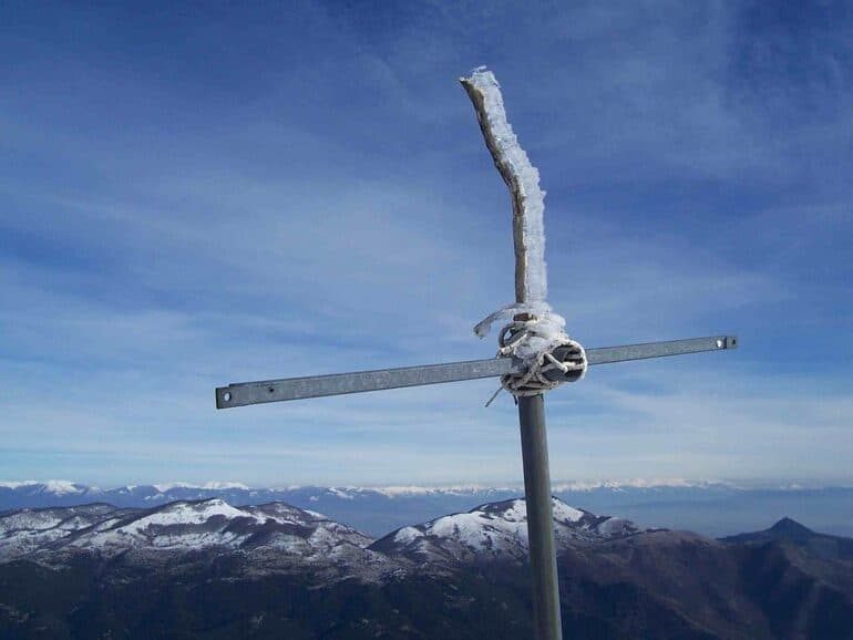
The Monti Reatini are a mountain range that belongs to the western chain of the Apennines of Umbria and Marche, bordering with Abruzzo to the east. It is located mainly in northern Lazio, in the province of Rieti, covering the whole region of Alto Lazio. The chain is delimited by the valley of the river Nera – also known as Valnerina – to the north-west, the Piana di Leonessa and the Amatrician basin to the north, the Velino river to the east, and the Piana Reatina to the south. The most famous massif in the area is Monte Terminillo (2217m), erroneously called by many Rome’s mountain, when in truth it is Rieti’s mountain! In the winter Mount Terminillo is an easily reachable ski resort, and in all other seasons it is a perfect spot for walks and hikes, or a relaxing break in nature. The flora and fauna are typical of the Apennine mountains. Among the most common mammals we find the wild boar, the fox, the warbler, the badger, weasels, hares and squirrels. In the sky we find birds such as the pilgrim hawk, the common falcon, the buzzard, the kestrel, the goshawk, the dove, the wild pigeon, the magpie, the grey raven, and the cuckoo. Quite a lot of feathered friends! The presence of the Apennine wolf and the golden eagle are sporadic, but these animals are not impossible to spot thanks to the proximity with other important protected areas. The fauna changes substantially as we hike upwards: at low altitudes we find woods vast oak words. As we hike, the scenery changes to hornbeams and ash, maples and sorbates. Around 1000m we find woods of beech and coppice, up until about 1700m, where pastures take the places of almost everything else except for the bare mountain of particularly steep tops.
Always in the province of Rieti, the Montagne della Duchessa Regional Reserve acts as a biodiversity hub were life, in all its forms, ecosystems, and landscapes flourishes. The area hosts Lake Duchessa at 1788m over the sea level, a typical mountain lake of glacial origin.




Are there any hiking trails around Rome that don’t require a car?
Yes! There is a free map that shows just all the hiking trails accessible by train: http://www.natureofsal.com/hikeline